
There is something quietly defiant about a footpath. A thin thread of worn earth cutting across a farmer’s field, ignoring fences, climbing stiles, disappearing into hedgerows as if the land belongs to everyone. Which, in a very real sense, it once did. The history of English public footpaths is not just a story about walking. It is a story about power, protest, class, enclosure, and the stubborn British insistence that some things ought to remain common.
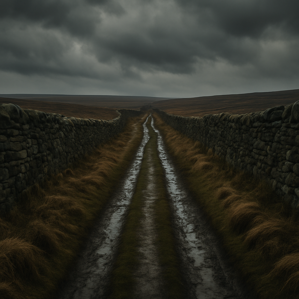
How England’s Footpath Network Came to Exist
England has roughly 140,000 miles of public rights of way. That is a staggering number, and it did not happen by accident. Most of these routes are genuinely ancient, worn into the landscape by centuries of ordinary people going about their daily lives: farmers heading to market, workers crossing fields to the mill, parishioners walking to church. In law, these paths exist because they were used. Continuous, unchallenged public use over time gave them a legal status that landowners could not simply erase. This principle, known as dedication by long user, is the bedrock on which the entire network rests.
Before the great wave of Parliamentary enclosures between roughly 1750 and 1850, enormous tracts of England were common land. Villagers held rights to graze animals, cut peat, gather wood and simply move across the countryside. The enclosures, which converted around six million acres of common land into private holdings, fundamentally changed the relationship between ordinary people and the landscape. Paths that had once wound freely across open ground were suddenly bordered by hedges and ditches. Many were lost entirely. The ones that survived did so because communities remembered them, fought for them, or quite literally kept walking them regardless.
The Kinder Scout Mass Trespass: Britain’s Most Famous Walk
If you want a single moment that crystallises the entire history of English public footpaths, it is 24 April 1932, on the high moorland plateau of Kinder Scout in Derbyshire. On that day, around 400 ramblers from Manchester and Sheffield deliberately walked onto land owned by the Duke of Devonshire’s estate. The moors were kept as private grouse shooting grounds. Gamekeepers physically confronted the walkers. Five men were arrested and imprisoned. The newspapers called it a riot. The ramblers called it a reasonable demand.
The mass trespass, organised largely by Benny Rothman and the British Workers’ Sports Federation, did not immediately change the law. But it changed the conversation. It exposed, with uncomfortable clarity, the fact that millions of working people in the industrial cities of northern England were effectively barred from their own landscape. The Peak District, visible on a clear day from the mill towns of Lancashire, was a playground only for those wealthy enough to own it. The trespass planted a seed that eventually grew into the National Parks and Access to the Countryside Act 1949, and decades later into the Countryside and Rights of Way Act 2000, which finally gave walkers the legal right to roam on open mountain, moor, heath and down in England and Wales. You can read more about the legal right to roam on gov.uk.
The Definitive Map: Pinning Down Every Path
One of the more peculiar chapters in the history of English public footpaths is the creation of the Definitive Map. The 1949 Act required local authorities to survey and record every public right of way in their area. The idea was sensible: if a path is on the map, it exists in law. Simple enough. Except that the surveys were conducted over decades, with wildly inconsistent standards, and many paths were missed, mis-recorded, or simply forgotten by the time the ink was dry. A path not recorded on the Definitive Map is not necessarily extinguished, but proving it exists becomes a great deal more complicated and expensive.
Today, local authorities are still processing applications to add historic routes to the Definitive Map. Some of these claims are backed by evidence stretching back to Tudor tithe maps or Victorian Ordnance Survey drafts. Others rely on living memory and oral history. The Ramblers, the UK’s largest walking charity with over 100,000 members, estimates that tens of thousands of miles of historic paths remain unrecorded. A statutory deadline, originally set for 2026, has been discussed for years as the cut-off after which unrecorded pre-1949 paths could potentially be lost forever. That deadline has been subject to ongoing political wrangling, which tells you something about how seriously the government takes the matter.
Modern Battles: Paths Being Lost, Blocked and Forgotten
You might assume that with all this legislation behind us, the network is safe. It is not. Paths get blocked by fallen trees that nobody clears, gates that nobody oils, crops planted straight across them by farmers who are betting nobody will complain. Stiles rot and are not replaced. Footbridges wash away. Some landowners are perfectly pleasant about it; others regard walkers as an irritant to be discouraged through strategic neglect. Local councils, facing perpetual budget cuts, have reduced their rights of way inspection teams to skeleton staff in many areas.
There is also the question of new development. Every year, planning applications propose building over ancient routes. Sometimes diversions are negotiated; sometimes paths simply disappear into the back of a housing estate with a sign pointing nowhere. The Campaign to Protect Rural England and the Ramblers regularly flag cases where planning authorities have approved developments without adequately protecting existing rights of way.
And then there is the more philosophical battle: who are footpaths actually for? The countryside is not only a heritage asset to be photographed on a Sunday walk. For many communities, footpaths are functional infrastructure: routes to schools, shortcuts between villages, connections to public transport. Losing them has real consequences for real people, particularly in rural areas where alternatives are limited.
Why the History of English Public Footpaths Still Matters
Every well-worn path carries a kind of unspoken social contract. Someone walked here before you, and someone will walk here after. The history of English public footpaths is ultimately the history of ordinary people asserting that the land is not entirely the property of those who own it on paper. That the right to move through the landscape, to breathe its air and feel its mud underfoot, belongs to everybody. It is a radical idea dressed in very sensible walking boots.
The battles being fought today, over blocked stiles and unrecorded routes and development threats, are smaller in scale than the great enclosure debates or the Kinder Scout confrontation. But they are the same argument. Keep walking. Keep the paths open. The moment you stop, somebody puts a fence up.
Frequently Asked Questions
How old are England's public footpaths?
Many of England’s public footpaths are genuinely ancient, some dating back to medieval times or earlier. They developed organically as routes used by ordinary people for work, trade, and travel, and their legal status was established through centuries of continuous public use rather than any single act of Parliament.
What was the Kinder Scout mass trespass and why is it important?
The Kinder Scout mass trespass took place on 24 April 1932, when around 400 walkers deliberately accessed private moorland in the Peak District to protest the exclusion of working-class people from open countryside. It was a pivotal moment in the campaign for public access rights, eventually contributing to the Countryside and Rights of Way Act 2000.
What is the Definitive Map of public rights of way?
The Definitive Map is the official legal record of public rights of way in England and Wales, created following the National Parks and Access to the Countryside Act 1949. Each local authority maintains its own map, and landowners, walkers, and councils all rely on it to establish which paths have a legal right of public access.
What can I do if a public footpath is blocked?
If you find a public footpath blocked by an obstruction such as a locked gate, ploughed-up surface, or overgrown vegetation, you can report it to your local council’s rights of way team, who have a legal duty to keep the network accessible. The Ramblers also run a tool called Pathwatch to help report and track problems.
Does the right to roam cover all land in England?
No. The Countryside and Rights of Way Act 2000 gives walkers the legal right to access open mountain, moor, heath, and down, but it does not cover farmland, woodland (unless specifically dedicated), or private gardens. Public footpaths and bridleways remain separate rights and are governed by different legislation.